ABOUT
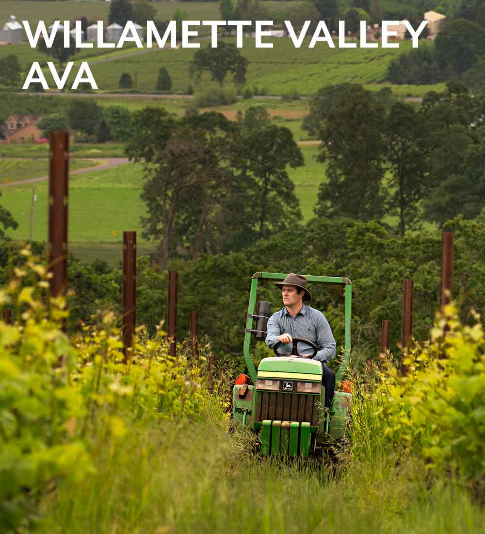
Concentrated grapegrowing in Oregon began here, with initial plantings in 1966 and ongoing vineyard growth in the intervening forty years adding over 10,000 acres, largely because of the benign but challenging cool climate and the protection of mountains on eastern and western boundaries—and, also largely because of one grape variety, Pinot noir. A large AVA of 3,438,000 acres (5372 square miles), running from Portland in the north to Eugene in the south, it includes rich alluvial soils on the valley floor, that are great for agriculture but inappropriate for high quality grapegrowing, and a selection of volcanic, loess and sedimentary soils on hillsides of varying mesoclimates.
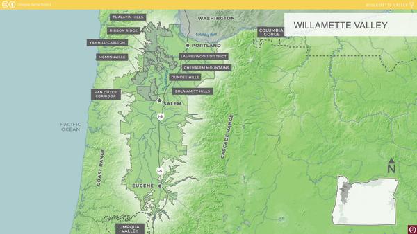
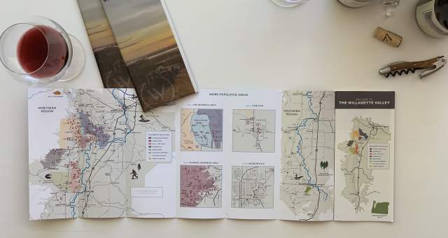
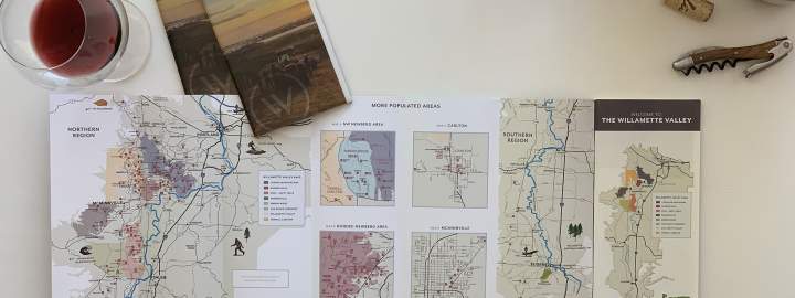
To acknowledge the uniqueness of certain smaller growing hillsides inside the Valley, AVA designation was requested in the early 2000s for six areas in the northern Valley, which contain sixty per-cent of the currently planted acreage of the Willamette Valley. These AVAs have minimum elevations around 200 feet; some also have a maximum of 1000 feet. The new Tualatin Hills and Laurelwood District AVAs arrived in 2020, and the Lower Long Tom AVA was established in 2021, bringing the total to ten nested AVAs.