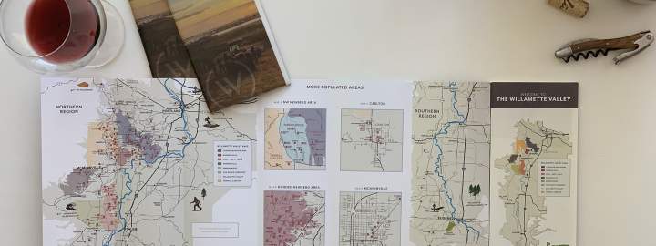
A New Way to See Wine Country
For anyone who has driven through the Willamette Valley, the connection between wine and landscape is immediately apparent. Vineyards rise along hillsides, tucked between forested ridgelines, open farmland, and winding country roads. But the full geography of the valley can be hard to grasp from the ground alone.
The new 3D Explorer Tool offers a broader view, helping users understand how the valley’s natural features shape its winegrowing conditions. From the Coast Range to the west and the Cascade Mountains to the east, to the lower hill chains at the northern edge of the valley, the tool highlights the protective geography that makes the Willamette Valley so well suited to cool-climate grape growing.
It also helps illustrate one of the defining truths of the region: small differences in site, elevation, aspect, and climate can yield wines of remarkably distinct character.
Why 3D Matters
No grape variety reflects climatic and site differences as vividly as Pinot noir. That is why it thrives in the Willamette Valley’s cool climate, and why wines grown just a few miles apart can express such different personalities.
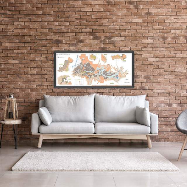
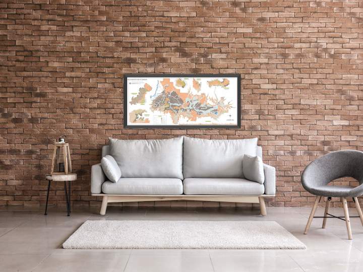
The 3D Explorer Tool makes those differences easier to visualize. Users can explore the shape and scale of the Willamette Valley AVA, zoom into nested AVAs, view appellation boundaries, and better understand how topography contributes to the diversity of wines produced across the region.
Whether you are studying the Dundee Hills, exploring the Van Duzer Corridor, comparing the Eola-Amity Hills and McMinnville, or simply getting to know the valley for the first time, the map offers a fresh and engaging way to connect place with wine.
Explore the 11 Nested AVAs
The Willamette Valley AVA is home to 11 nested AVAs, each with its own combination of elevation, exposure, soils, and microclimate. The new tool makes it easier to see how these appellations sit within the broader valley and how they relate to one another geographically.
Users can explore:
Chehalem Mountains
Dundee Hills
Eola-Amity Hills
Laurelwood District
Lower Long Tom
McMinnville
Mount Pisgah, Polk County, Oregon
Ribbon Ridge
Tualatin Hills
Van Duzer Corridor
Yamhill-Carlton
Together, these nested AVAs tell a richer story of the Willamette Valley: a world-class winegrowing region defined not by sameness, but by nuance.
Built for Wine Lovers, Visitors, Trade, and Media
The Willamette Valley AVA 3D Explorer Tool is designed for anyone who wants to better understand the region.
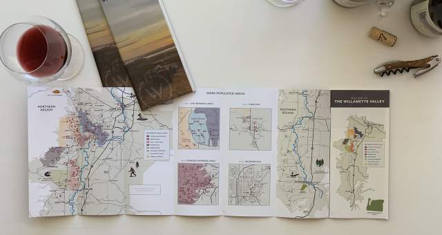
For visitors, it offers a beautiful way to orient yourself before a trip and discover how wineries and AVAs fit into the landscape.
For wine trade and educators, it provides a visual resource for explaining the valley’s cool climate, nested appellations, and site diversity.
For media, it offers a dynamic way to explore the geography behind one of the world’s benchmark Pinot noir regions.
And for wine lovers, it brings the story of the Willamette Valley into view—showing how mountains, hills, valleys, and climate come together in the glass.
Discover the Valley from a New Perspective
The Willamette Valley has long been celebrated for wines of elegance, freshness, complexity, and a deep sense of place. With the launch of the new 3D Explorer Tool, that sense of place is now easier to see, understand, and share.
Explore the Willamette Valley AVA in 3D and discover how Oregon’s leading wine region is shaped by the land itself.